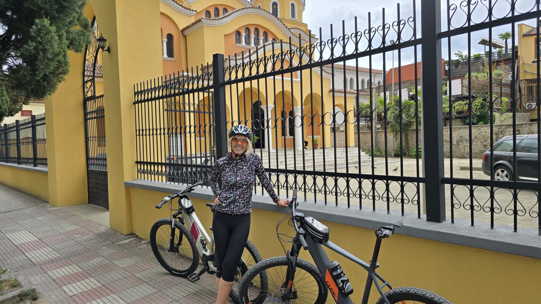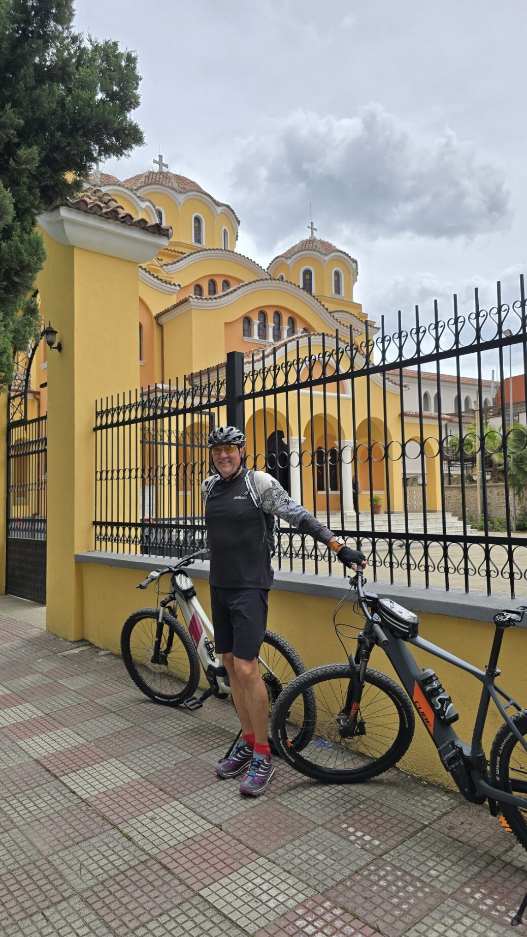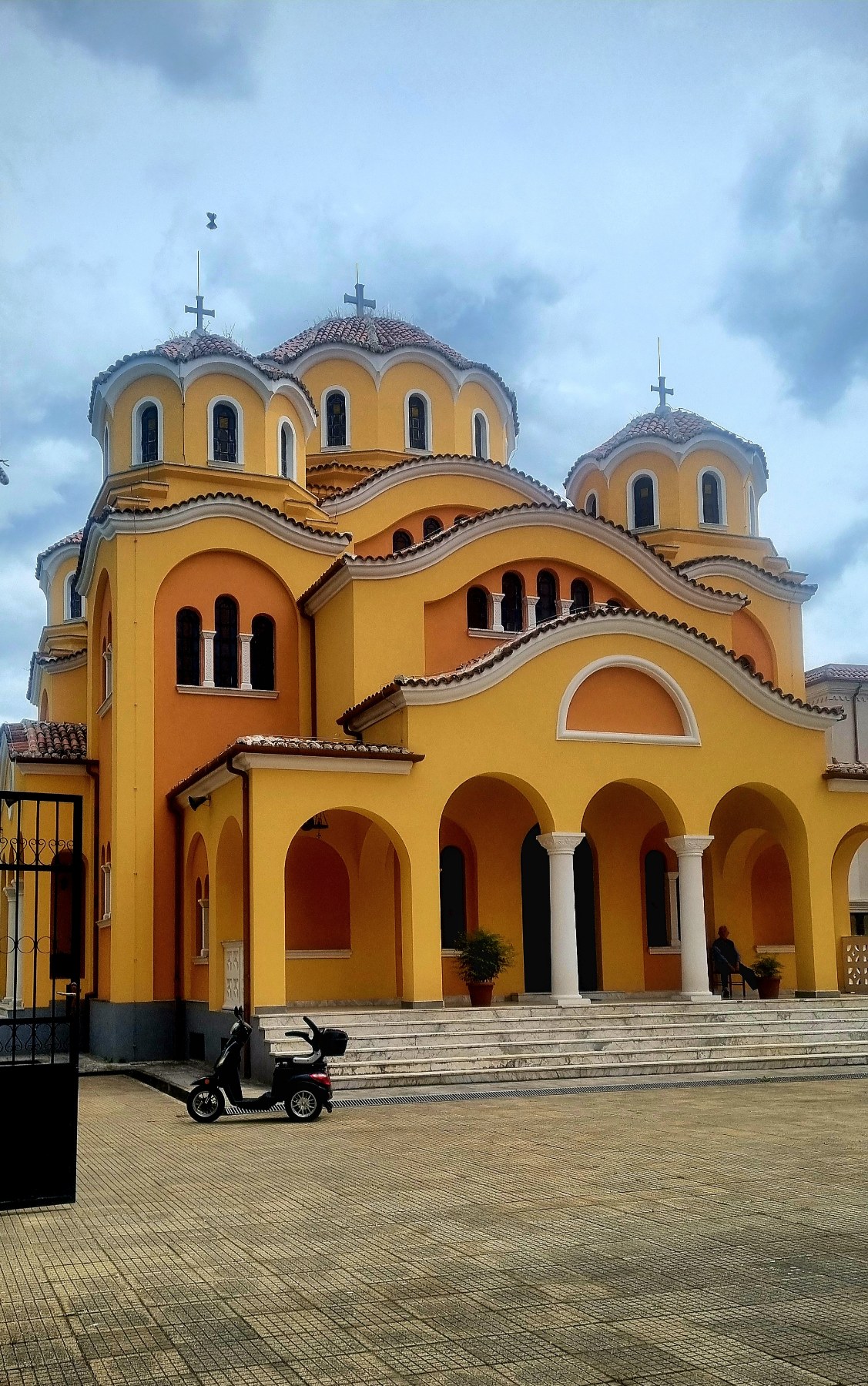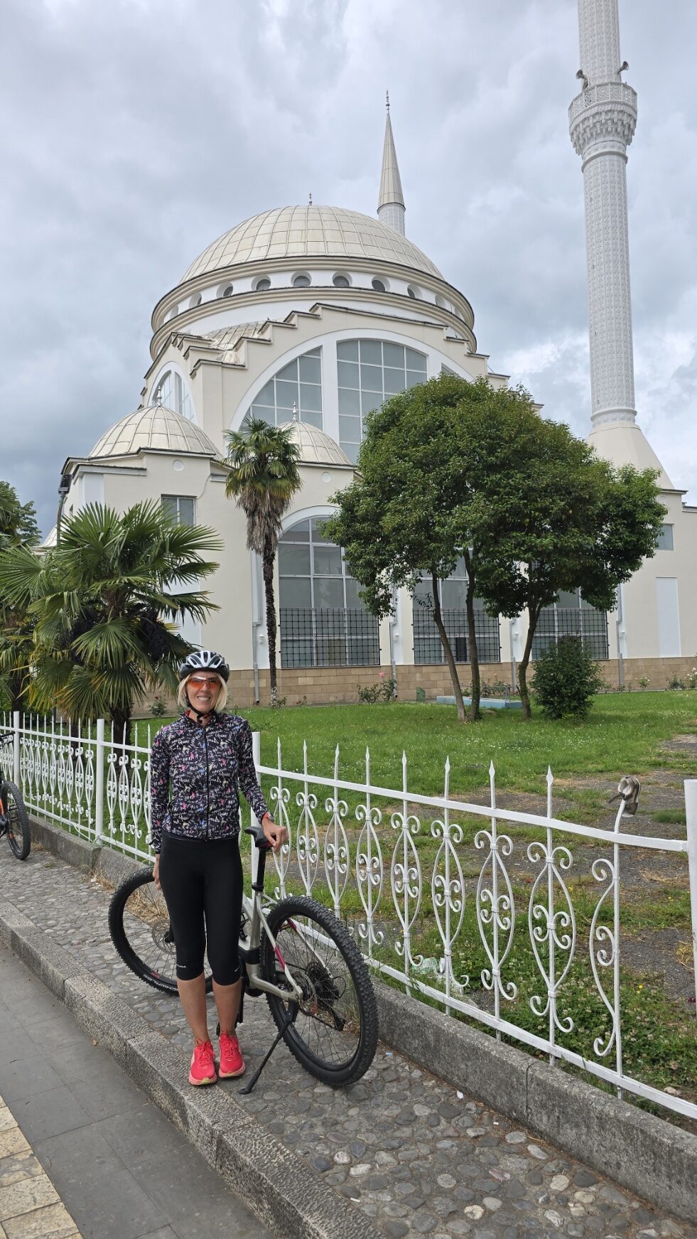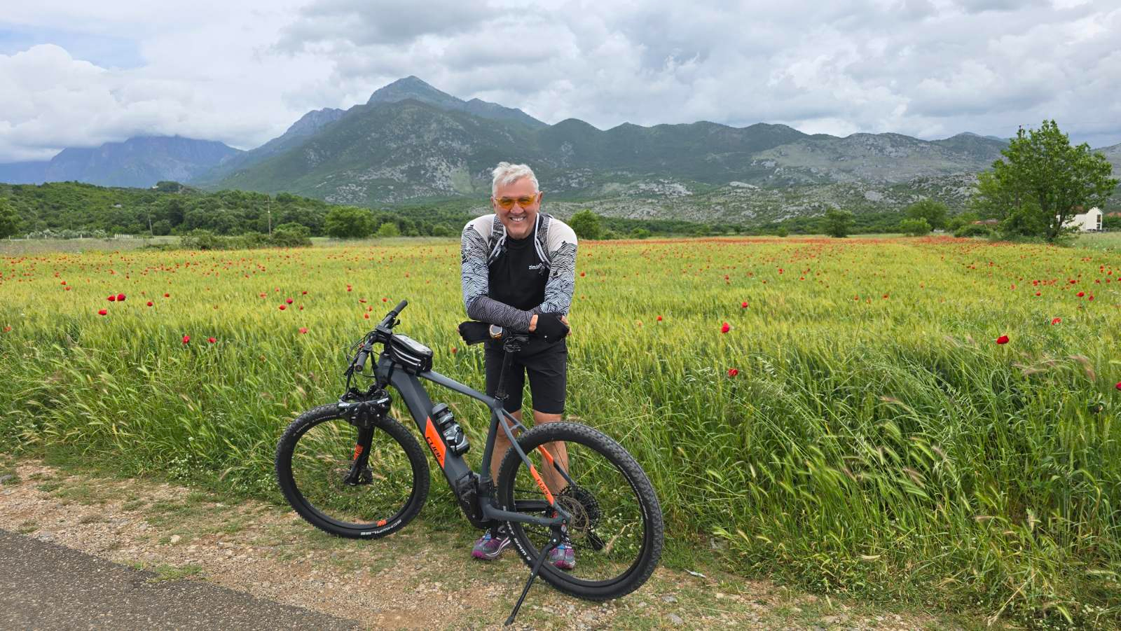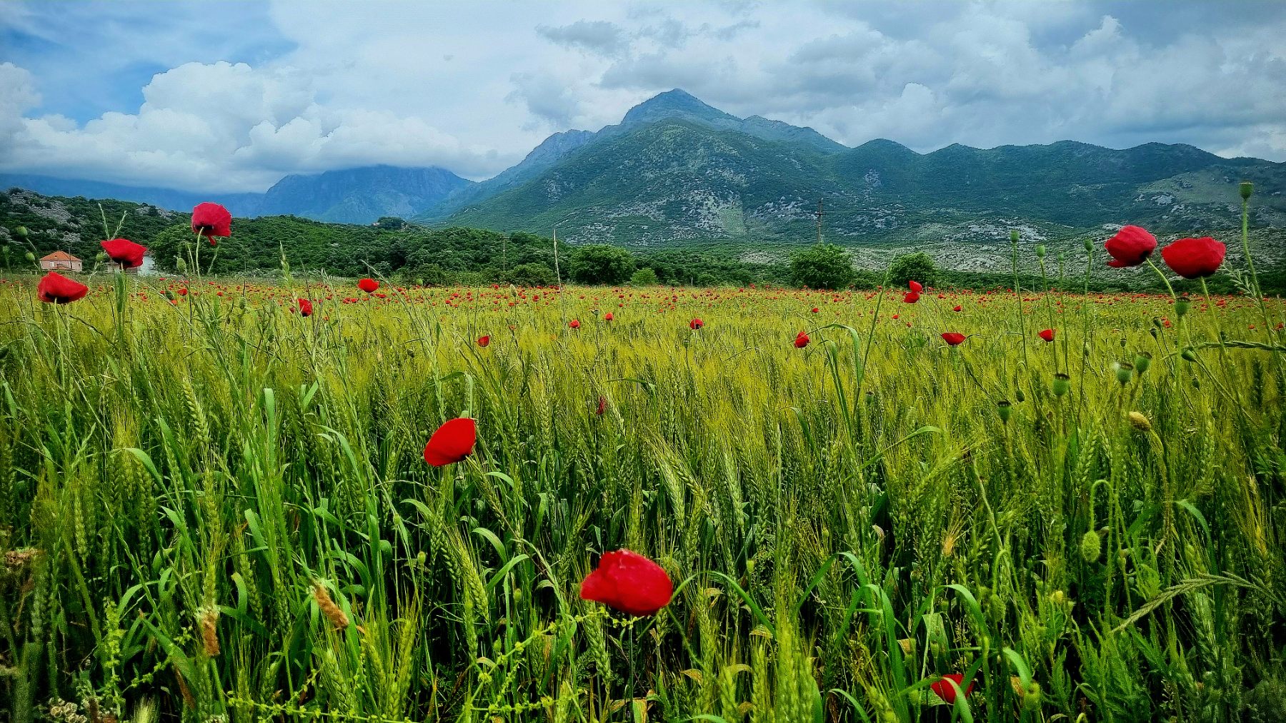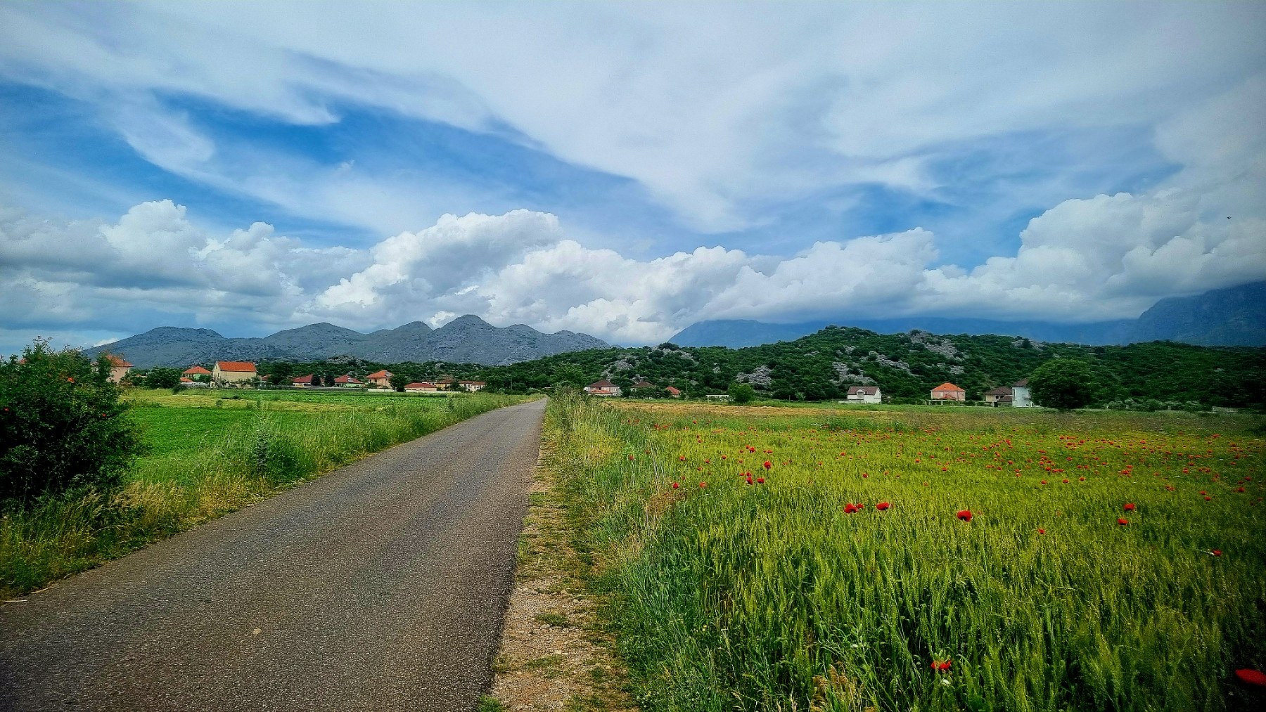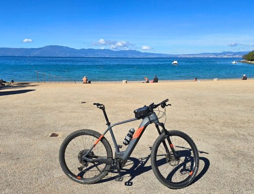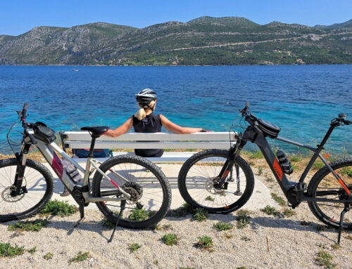
We had heard a lot about Albania and its natural beauty, so we decided to visit its northern part. The first stop was the lake and the city of Shkodër. We stayed at the well-maintained campsite, “Shkodra Lake Resort,” and from there, we embarked on two interesting cycling tours around the area.
The city of Shkodër and Mesi bridge
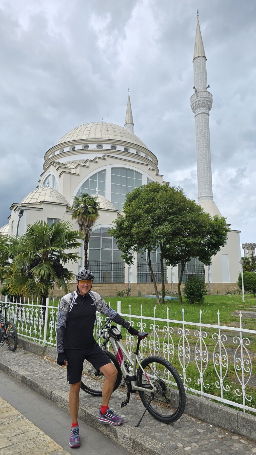
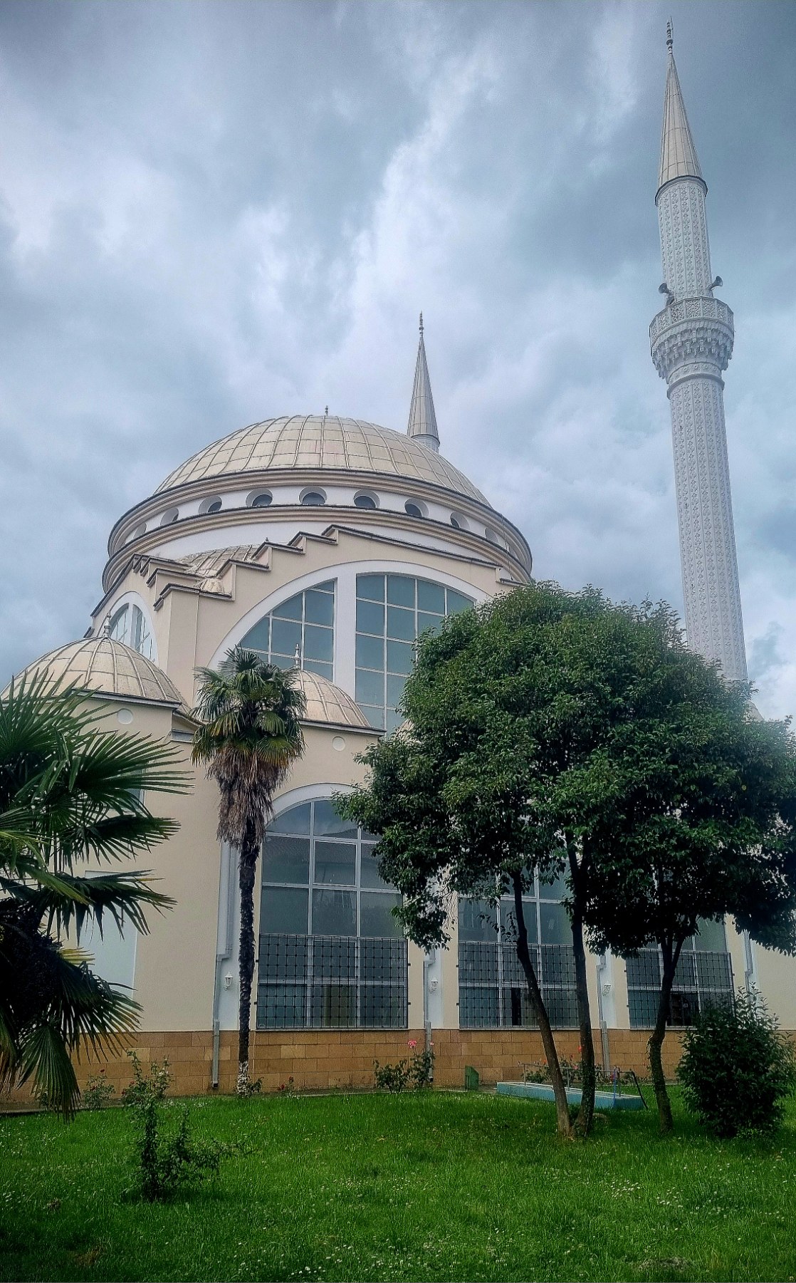
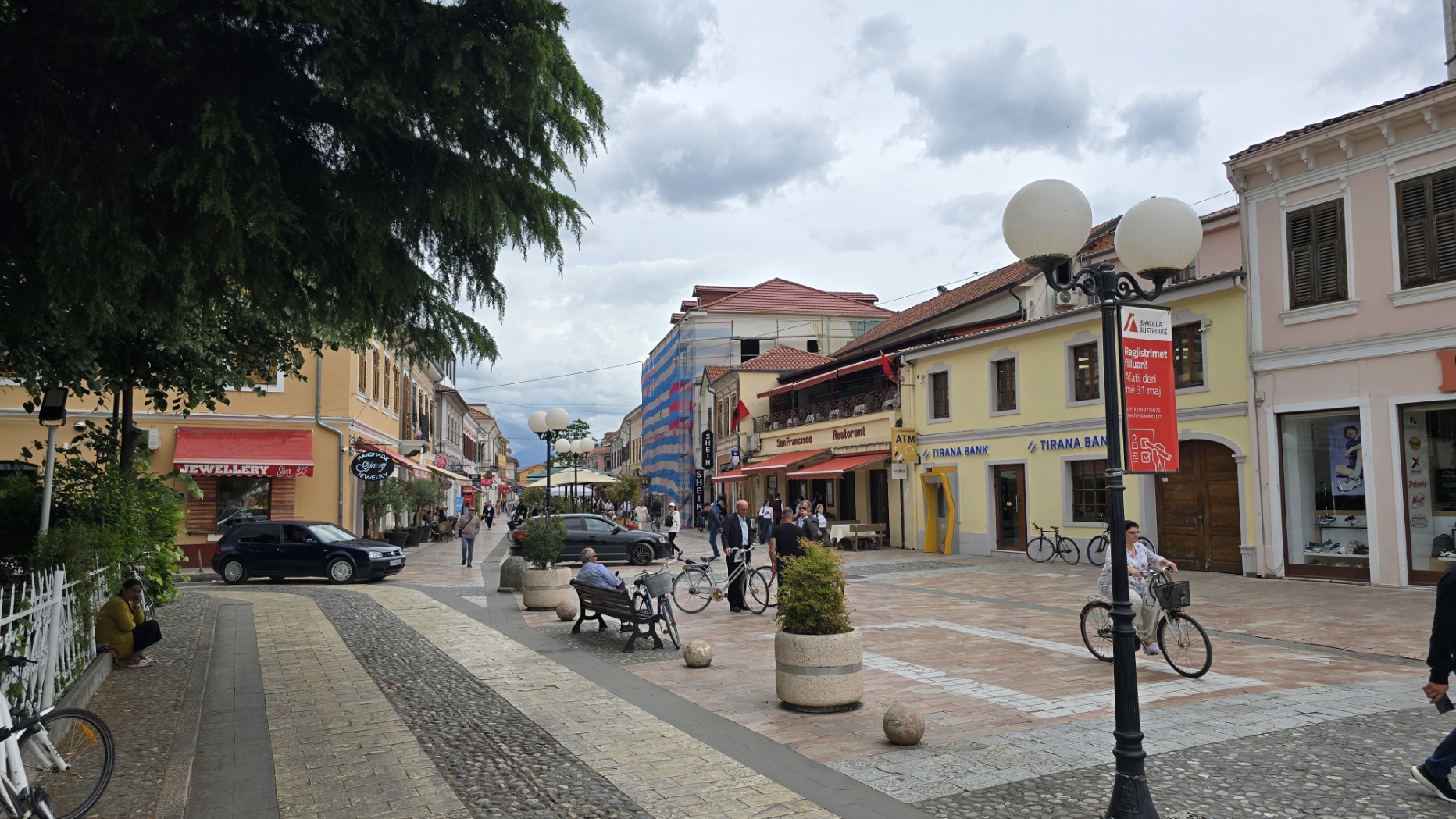
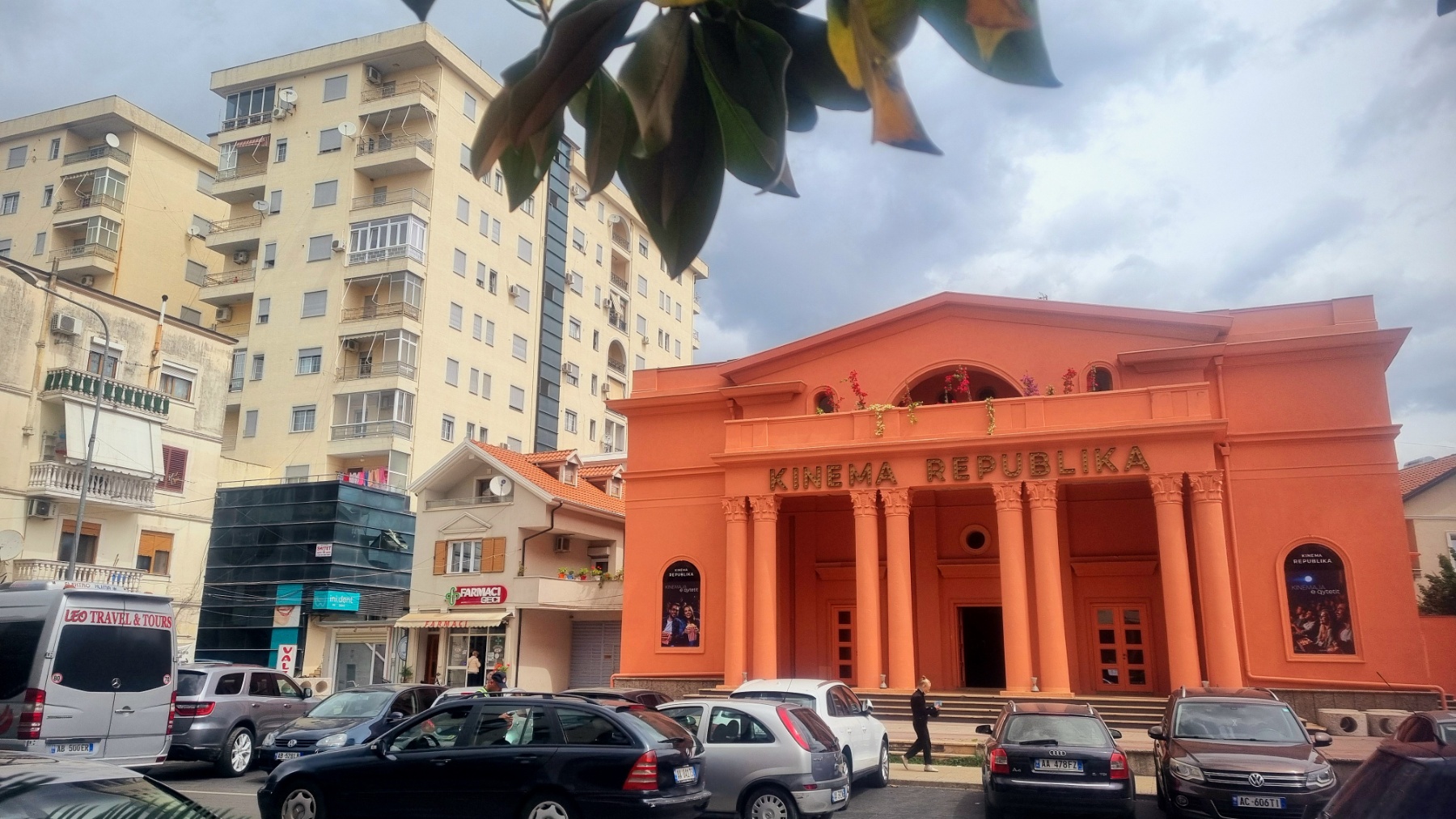
The first one took us to the city, along a hectic road that initially made us regret going there. However, after 5-6 kilometers of struggling with noise and cars, Shkodër delighted us with its diversity and liveliness. If you like that, you will enjoy this city of just under 100 thousand inhabitants. You have to forget about the traffic rules from the EU a little: here you drive without flashing your indicators, cyclists do not wear helmets, the rule of priority is “first to get your way” and so on. You also have to get used to Albanians’ unusual tendency to pile garbage on every corner. That aside, the city is beautiful and has a lot to see (as the photos show nicely).
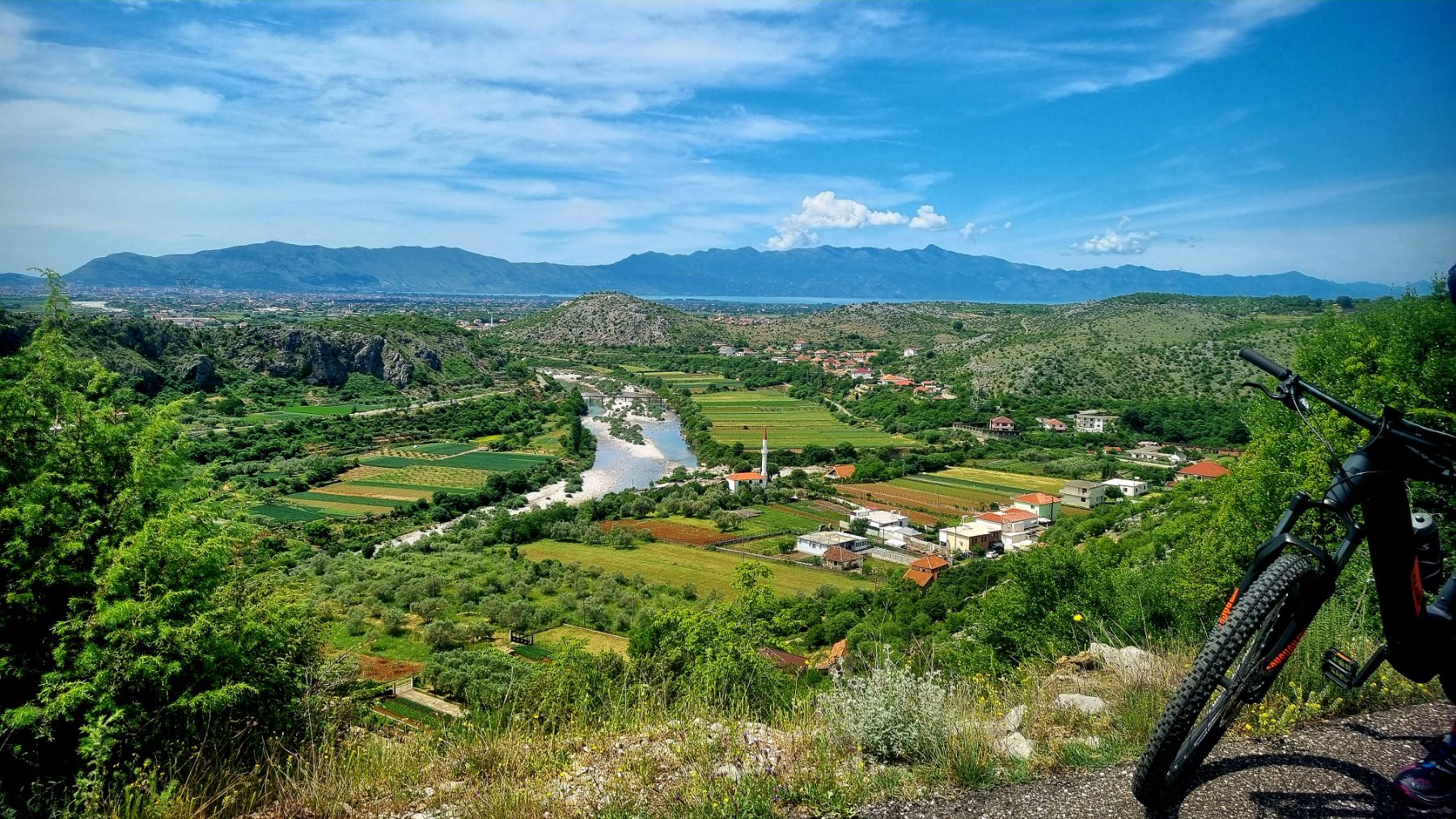
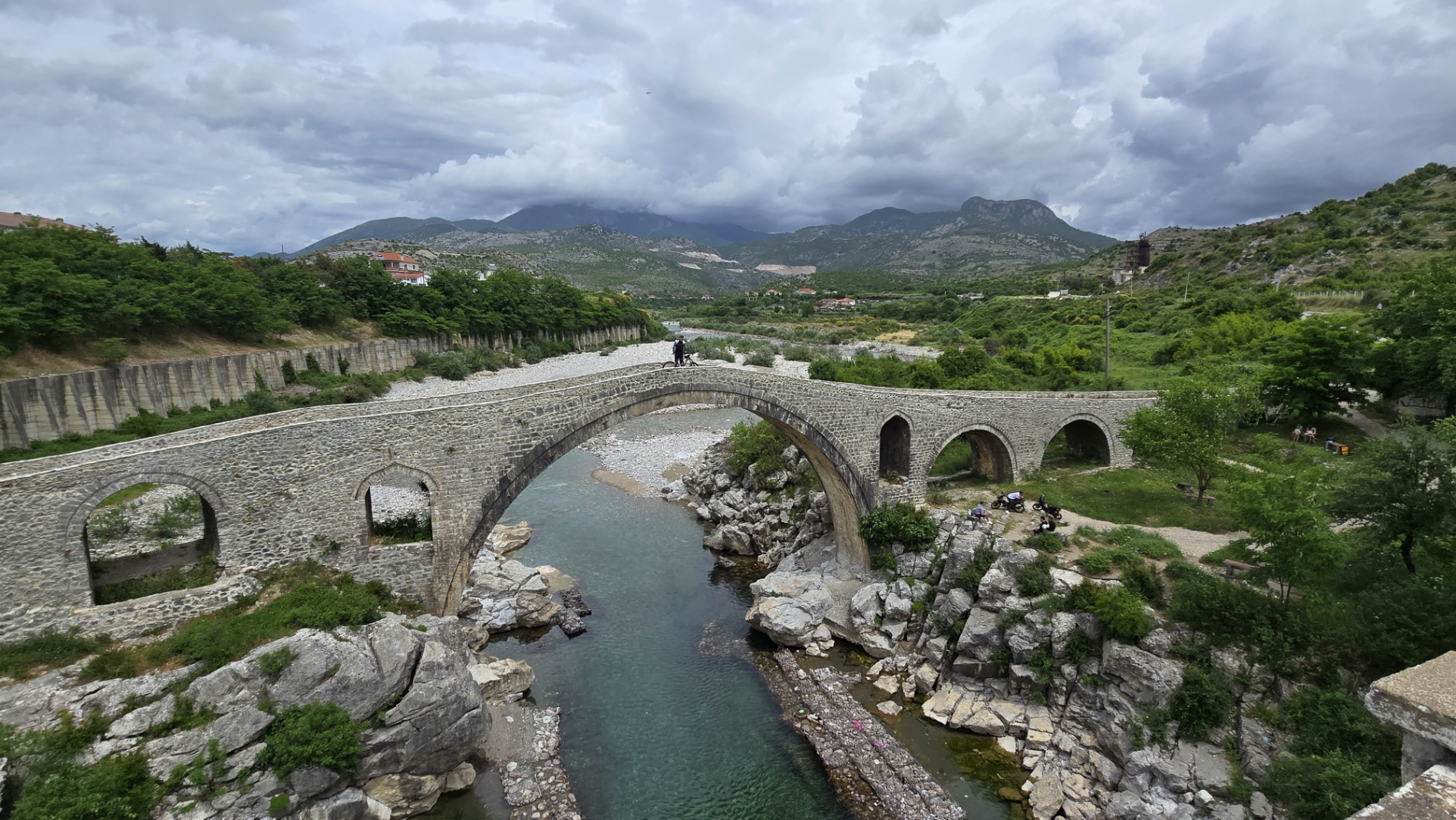
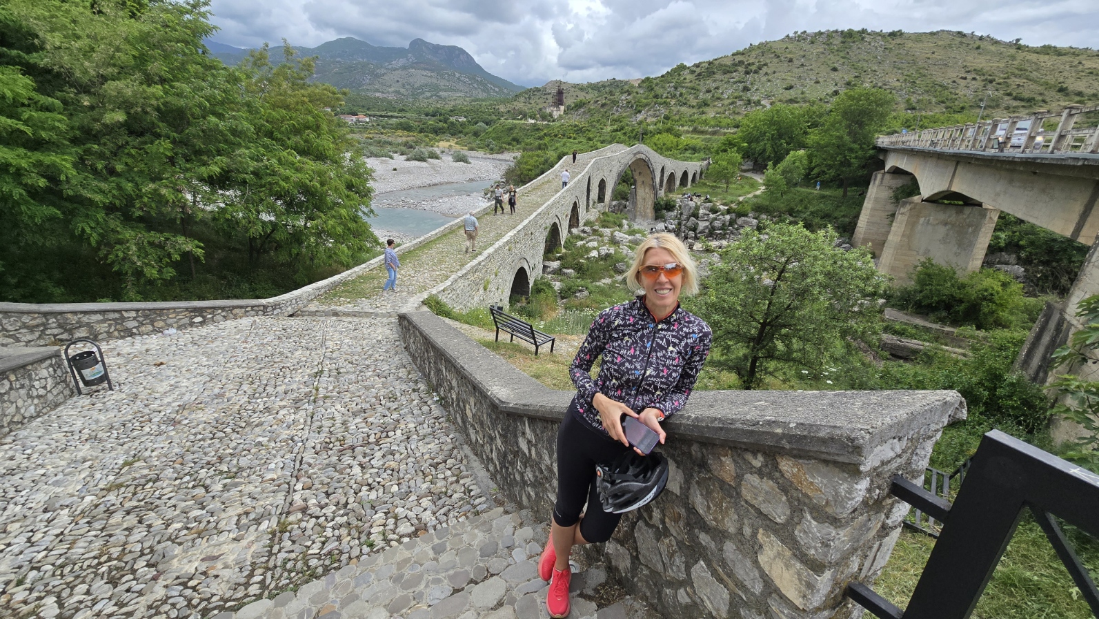
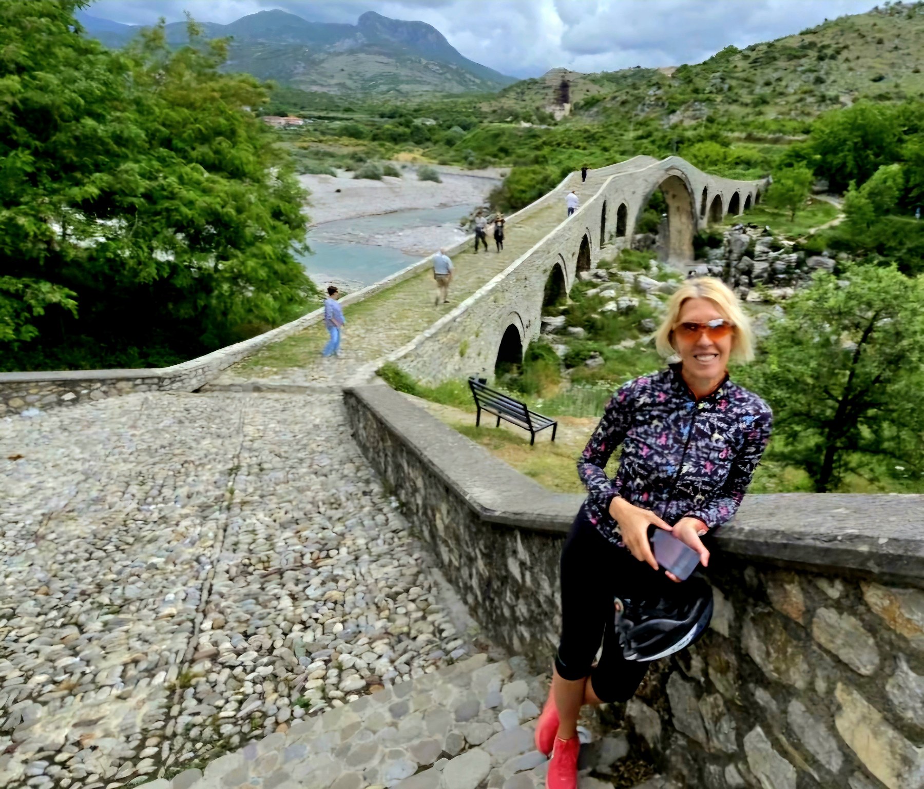
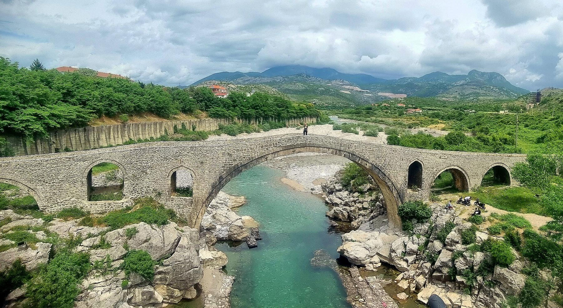
But after the city, our journey took us into the hinterland through narrow roads, small settlements, and fields. That is an entirely different story that we enjoyed immensely. The hinterland’s biggest attraction is the old Mesi bridge that spans the Kir River. The Kir is a somewhat capricious river. It could have obviously flooded the entire area, but when we drove there, there was almost no water in it.
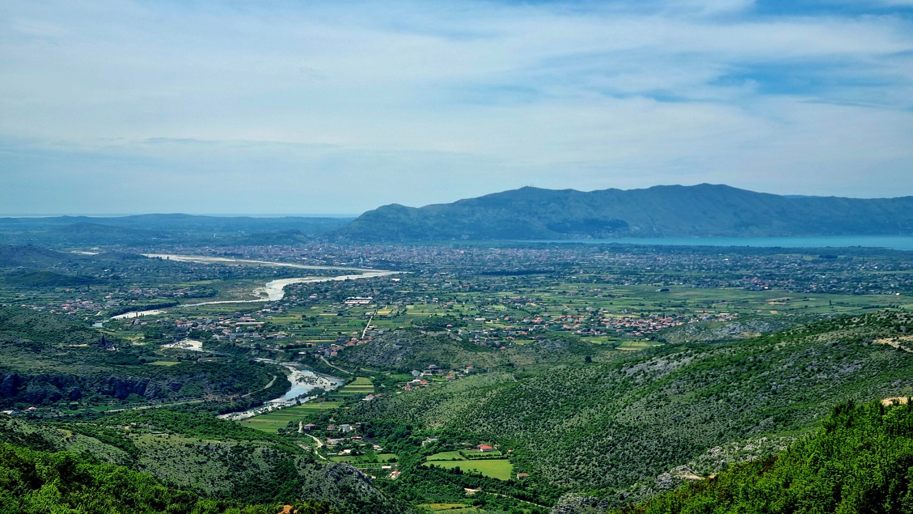
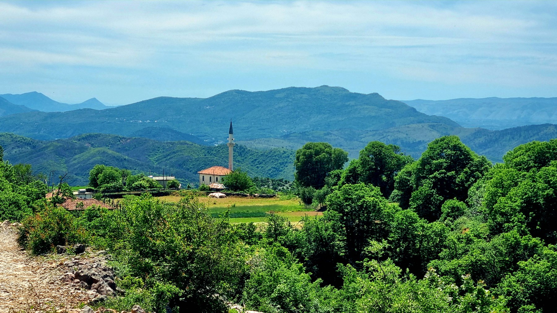
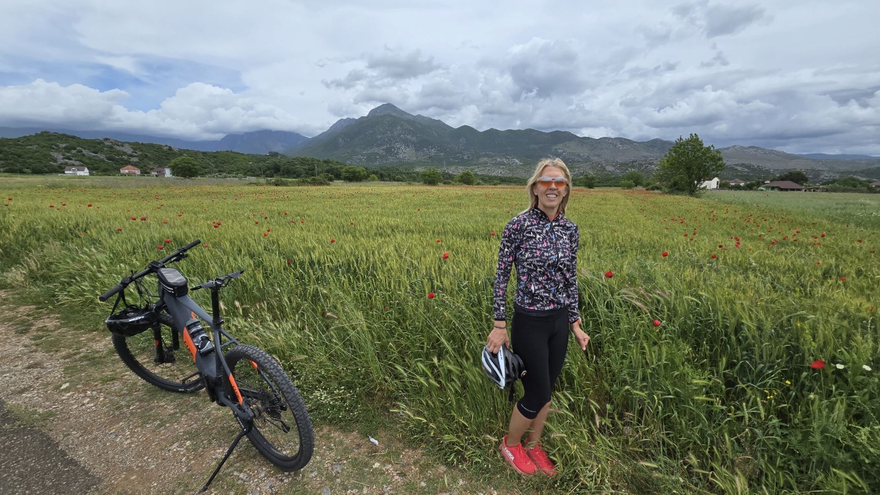
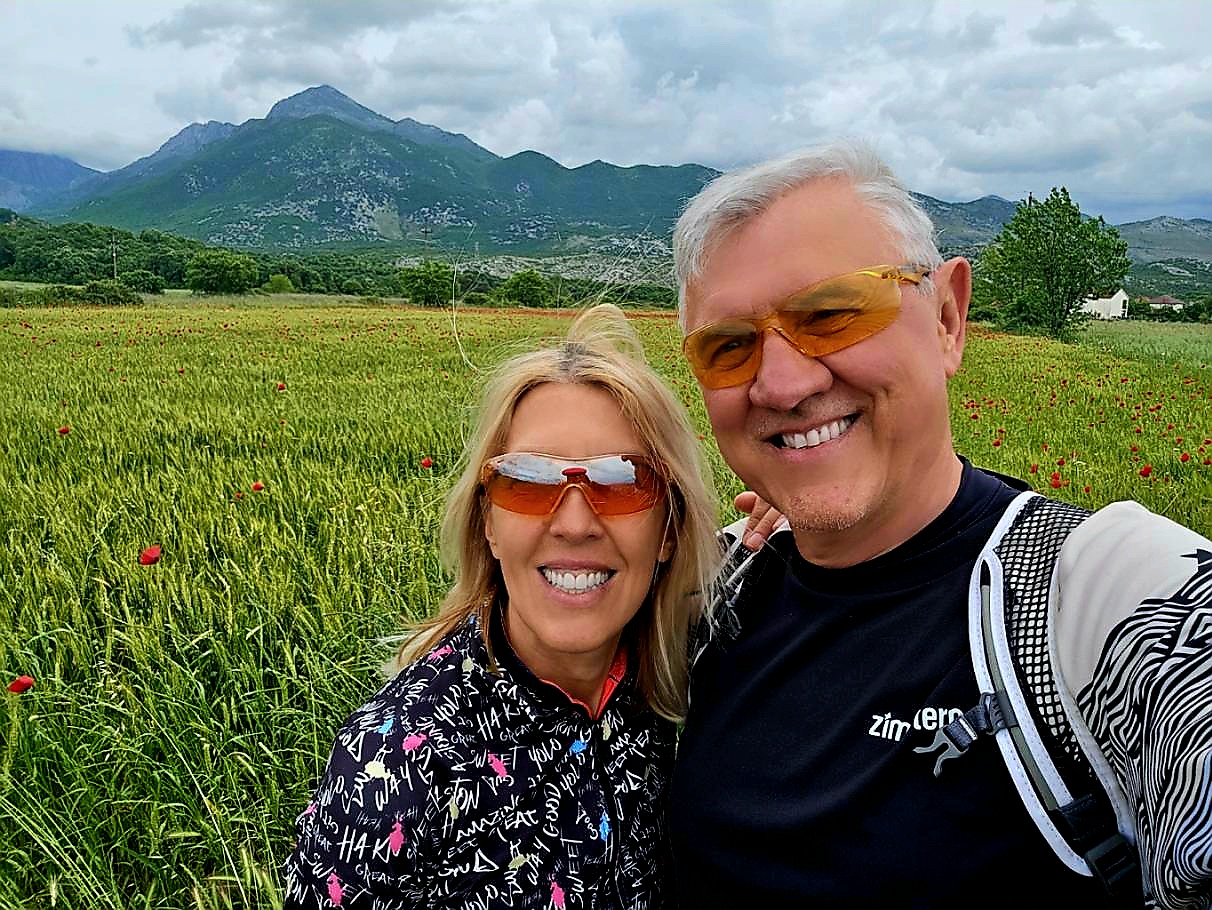
The scenery and views are excellent and breathtaking (as you can see in the photos).
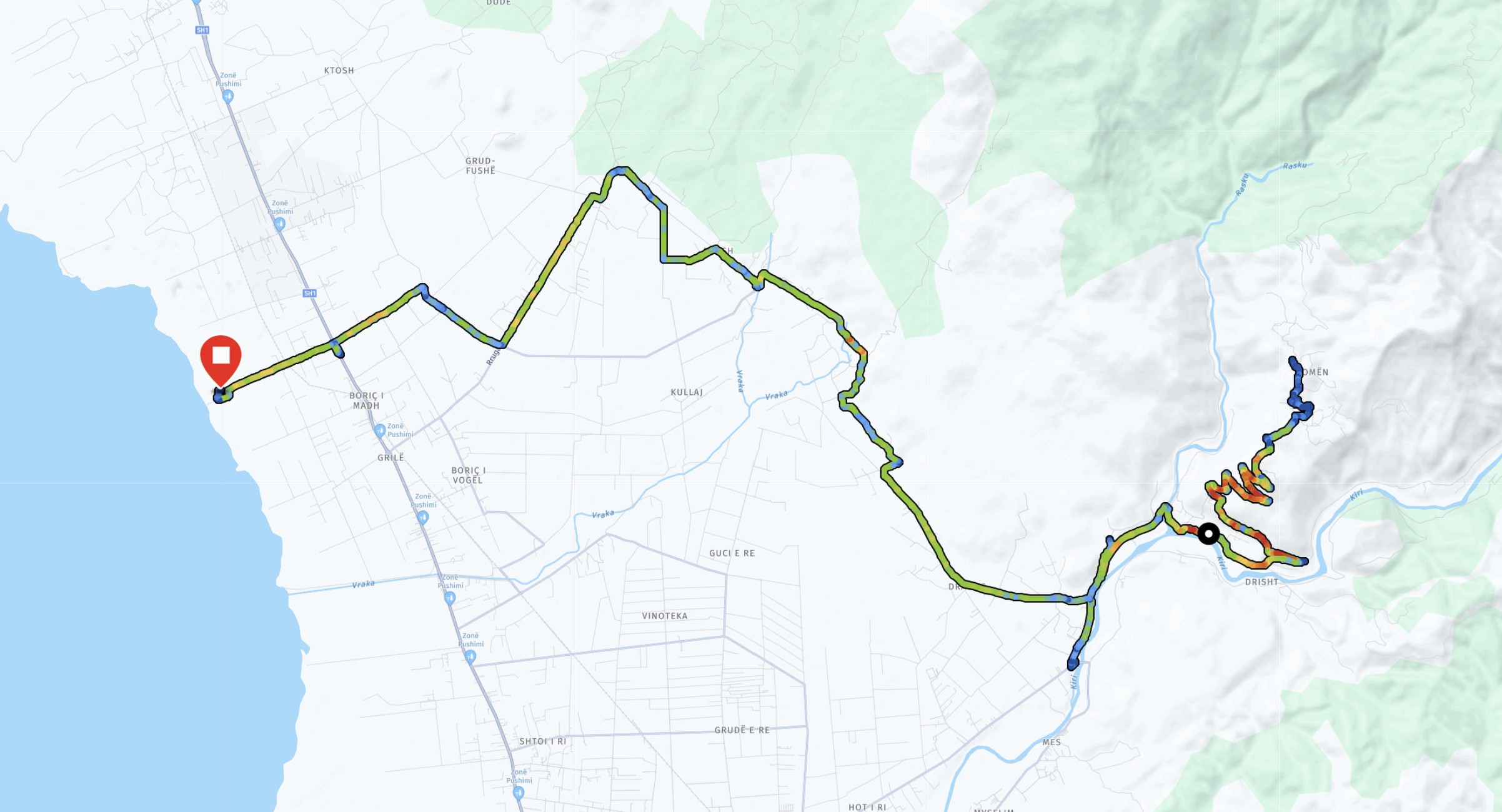
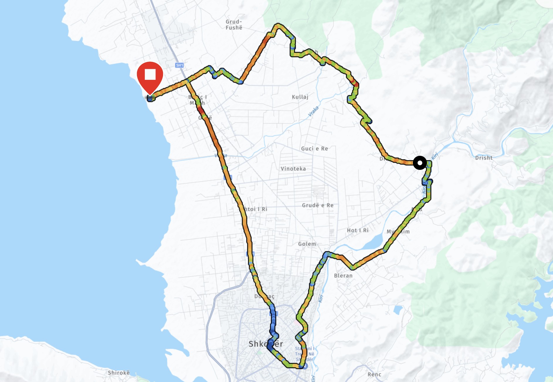
You can download the GPX track on Strava: https://www.strava.com/activities/14414477918
The entire route is 37.5 km long, and it took us 2 hours and 20 minutes.
Towards the Domen peak
Now more experienced in navigating the winding Albanian paths, we headed back to the Mesi bridge on the second day. From there, we followed the road north into the hills. Uncertain of our destination, we were confident that the road-or a connecting path-must lead uphill since no other options presented themselves.
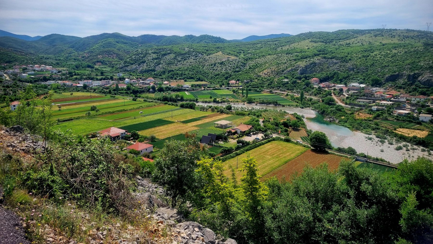
Indeed, we discovered a narrow road that meandered toward the Domen hill (a name we learned later). Along the way, we encountered herds of cows and breathtaking views… but as they say, photos tell the story better than words. The path to the small hamlet at the base of the peak (the name of which eludes us) starts narrow yet paved. However, the final two or three kilometers pose a challenge, suitable only for those with a reliable MTB bike.
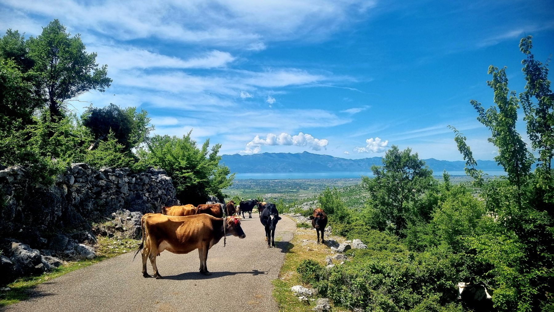

The way back is mostly a descent (watch out for the cows) to the bridge, then back to the campsite. The journey took 2 hours and 32 minutes, covering a little over 48 kilometers, with an elevation gain of 642 meters. You can download the GPX track on Strava: https://www.strava.com/activities/14424739344
